Rising Tide: Sinking Earth
Global warming is creating havoc throughout the world.
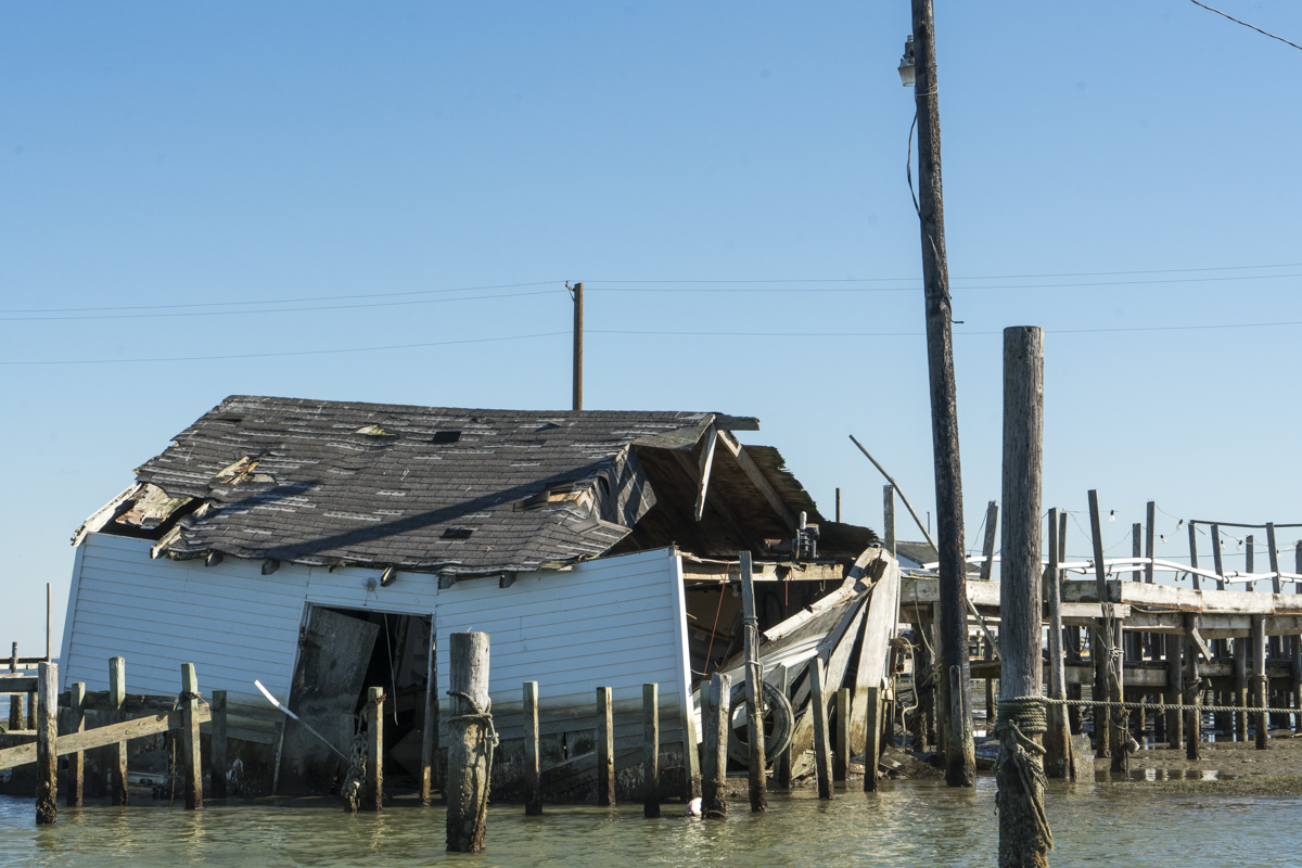
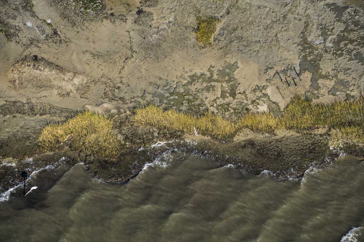
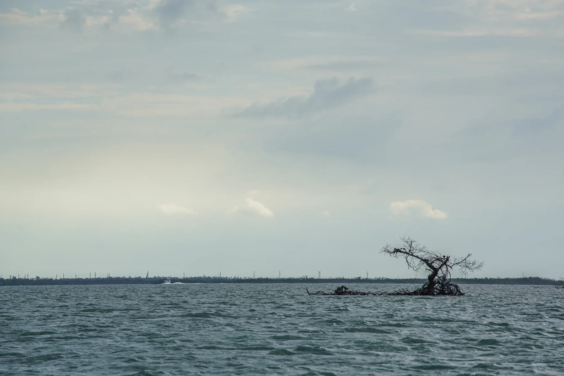
Our oceans are warming and expanding causing an increase in hurricanes, tsunamis, tornados, flooding, and soil erosion.
This project, Rising Tide: Sinking Earth, focuses on locations throughout the world that are experiencing the effects of coastal soil erosion due to climate change.
Bangladesh is one of the most vulnerable countries to face the challenges of rising tide. With a population of one hundred and sixty-eight million people, it is the world’s eighth most populous country and the most densely populated, excluding small island nations and city-states. It is covered by the Bengal delta - the largest delta on Earth. Its 700 rivers and 8,046 km of inland waterways traverse this low-lying country.
Two-thirds of its terrain is less than five meters above sea level. It is estimated that by 2050, a three-foot rise in sea levels will inundate some 20% of the land and displace more than 30 million people.

Bangladesh Rivers
Monsoons, cyclones, tornados and flooding are frequent occurrences in this part of the world. Combined with the effects of deforestation, soil degradation and erosion, natural disasters regularly inflict heavy damage on its inhabitants.
In September 1998, Bangladesh saw the most severe flooding in modern world history. As the Brahmaputra, the Ganges and Meghna spilled over and swallowed 300,000 houses, 9,700 km (6,000 mi) of road and 2,700 km (1,700 mi) of embankment. 1,000 people were killed and 30 million more became homeless. Two-thirds of the country was underwater.
As climate changes, these natural disasters will increase in frequency and in magnitude.
In 1993, it was discovered that much of Bangladesh's groundwater (the source of drinking water for 97% of the rural population and a significant share of the urban population) is naturally contaminated with arsenic. External donors constructed hand pumps in 2004 to provide water to many in the rural areas.
Bangladesh acknowledges the threats that they are facing and are being proactive in lessening the damage by instating preventative measures.
Since 1991, cyclone centers have been built throughout Bangladesh, decreasing the amount of deaths that would have occurred without them. Only 30 deaths resulted from the devastating Cyclone Roanu in 2016; most were accidental.
The government has also created an extensive dike system that controls water flow in order to divert the flooded rivers.
Bangladesh ranks fifth worldwide in the number of renewable energy green jobs and production of solar panels, providing energy to those that do not have access to electricity.
APRIL 1-2: SHERPUR DISTRICT
We travelled four hours north of Dhaka to the Sherpur district where we planned to observe one of several Bloomberg Philanthropies-funded day care centers throughout Bangladesh.
The day care centers are part of the Drowning Prevention Program organized by Synergos and Cresh, and are supported by a growing coalition of organizations, businesses, government actors, and community groups.
Drowning is the leading cause of death for children under five in Bangladesh, killing 40 children every day. Over 12,000 children drowned in 2005, and in 2016, the drowning child death toll was 10,000.
Because of constant flooding, most of Bangladesh’s villages have been forced to build elevated dirt roads for travel. The soil adjacent to the road is used to create new roads, thereby creating ditches.
With rain and flooding, these ditches become full of water and become a potential hazard to young children playing near their homes. Most child drowning deaths occur in small bodies of water within 20 meters of the home.

Sherpur District
The day care centers are located within 10 minutes walk of the home providing a safe haven for these children. Unfortunately, only 7 out of 460 sub districts have these day care centers.
We interviewed two residents in Teghuria Village and observed the Anchal Ma day care center.
Mujdul Miya
Teghuria Village, Sherpur District
Cinematography: Bill Megalos
Mujdul lives with his wife, Najua Begum; father, Tofis Uddin; mother, Mohowana Begum; and his three childen Jonaki, Mumia and Lamia. Jonaki is now in BRAC school after graduating the Anchal Ma day care. Mumia attends Anchal Ma, and Lucia is three months old.
Mujdul’s entire extended family is dependent on his income for survival. He has made a, modest living by farming fish in the many ponds surrounding his home. Because of climate change, winters are no longer as cold and summers are warmer. This shift in temperature has affected his livelihood.
The rain in Bangladesh normally begins in late April; this year there were seven days of straight rain in March causing all of his fish to die.

Dead fish in pond, Sherpur, Bangladesh
Mujdul arranged for us to view one of his ponds and to watch the fish being dredged out of the pond. Unfortunately all of the nets were devoid of fish. Several dead fish were floating on top of the pond.
Luckily, he is quite resourceful and has started a business of collecting hair that is cleaned, bundled and sent to China for wigs.

Afzal Hossain
Afzal Hossain
Teghuria Village, Sherpur District
Afzal lives with his wife, children and extended family. The youngest of his three children, Nowshad - who was only 15 months old, had drowned just ten days earlier.
He explains:
“That day my wife went to a neighbor’s place to borrow a machete while my son was playing in front of our house. When she came back, son was not here. So, she was searching everywhere and suddenly looked into water where my son was floating.
She pulled out our son and put his belly on her head so the swallowed water can come out. There was no sign of life. Then she moved to the hospital with the help of neighbors. But everybody was saying to move her back to home as our son was dead already.
I was working in town. That morning my son fed me with his tiny hands and then I went to work. I had come to know about my son through mobile at 3pm. I rushed back home and he already died.”
Afzal’s older daughter graduated from the Anchal Ma day care center. He and his wife intended to send Nowshad to day care the next month.

Ditch near to Afzal’s home.
Anchal Ma Day Care Center
Teghuria Village , Sherpur District
Cinematography: Bill Megalos
The day care center provides not only a safe place for the children to play while their parents work during the day, but also teaches them reading, math and other subjects.
Monsheda is one of two volunteer caregivers who manage the program. While there, the eleven children recited what they have been learning in school.
Most of the children nearby do not want to leave their homes and many parents do not think it is necessary to part with their child for three hours, especially because there is usually an extended family member at home. It is much easier to keep the children at home rather than walk ten minutes back and forth to the center.
It is hoped that Synergos can convince the parents to send their children to the day care centers to not only prevent drowning, but to educate at an early age.
Despite mandatory education through the fifth grade, many low-income families keep their children home to work. They also live too far from an educational institution to attend. UNICEF along with many other non-profits are working to increase the accessibility of education throughout Bangladesh.
April 3-4: KHULNA DISTRICT

Khulna District
Khulna is 278 miles south of Dhaka and the third largest city in Bangladesh.
We flew to the closest airport, Jessore, and immediately drove to Khulna where we resided for the next two nights. While driving through the countryside to Dacope, we encountered a jute factory strike.
Our detour led us through a small village where the council leader happily greeted us; she insisted we come to her home for tea.
We regretfully declined, but still she brought us some sweet bananas - a welcome afternoon snack. The street was lined withdozens of people wanting to talk and look at us.

The council leader and the people of her village
Ghunte (dried cow dung on a stick used for lighting fires) was neatly arranged against brightly painted homes.

Ghunte (dried cow dung)
Everywhere we went, we felt welcome. The Bangladeshi are some of the nicest people in the world… honest, kind, caring, giving. Their beautiful sprit was everywhere.
When we returned to the road, we were offered a cup of tea or coffee and sat with the locals until the strike was over. A few of the strikers talked and took selfies with us.
We reached Dacope and interviewed Abdulla Sarder.
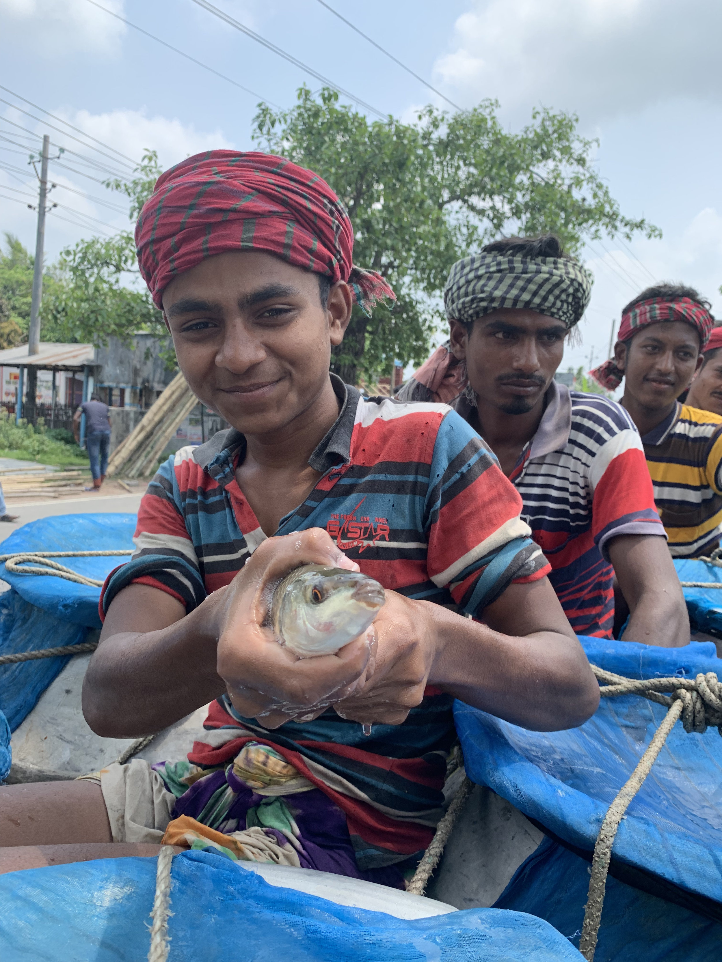
While waiting, a truck drove by filled with drums of live fish.
ABDULLA SARDER, DACOPE, KHULNA DISTRICT
Abdulla lives with seven members of his family: his wife, mother and father, two brothers, and two children, His daughter Mohanna aspires to be a doctor, and his son Masum Billa has hearing issues which cannot be resolved in Dacope. Treatment is available in Dhaka but because they do not have the resources, Masum’s hearing cannot be cured.
Abdulla’s family once lived in Kalabogi. His father had a successful fishing business and owned quite a bit of property including three homes. After the properties were destroyed from flooding, Abdulla built two more homes. More flooding occurred and these newly built homes were washed away.
Without property, Abdulla had no choice but to leave his beloved Kalabogi and live in government housing in Dacope. Dreams of going back to Kalabogi are in the past. There is no fishing, no farms and no water.
The only work available to Abdulla is as a day laborer. He hopes to get a job each day laying bricks and wakes each day not knowing whether or not he will have enough wages to feed his family.
Abdulla depends on “The All Mighty” to get him through.

Abdulla’s village
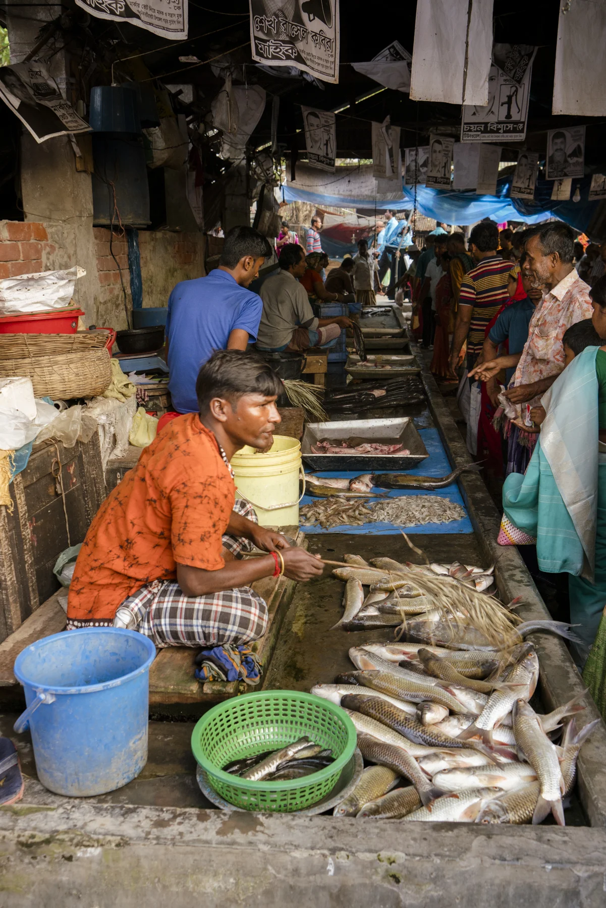
On the way home from Dacope we stopped at the night market where we walked among stalls of fresh fruits, vegetables, live fish, meat, and rugs.
A rising middle class (estimated at over 30 million) has fueled demand for high quality agriculture products. According to the Bangladesh Bureau of Statistics (BBS), in 2014-15, crops, livestock, fisheries, and forest products accounted for about 16 percent of Bangladesh’s total gross national product.
Agriculture employs approximately 47 percent of the total population. The food in Bangladesh is very fresh and delicious - great curries, rice dishes with various meats and fresh palm juice, not at all what we expected. Although the food is satisfying, Sherpur does not offer an abundance of fine dining. We ate at the same “reliable” restaurant for all of our meals.

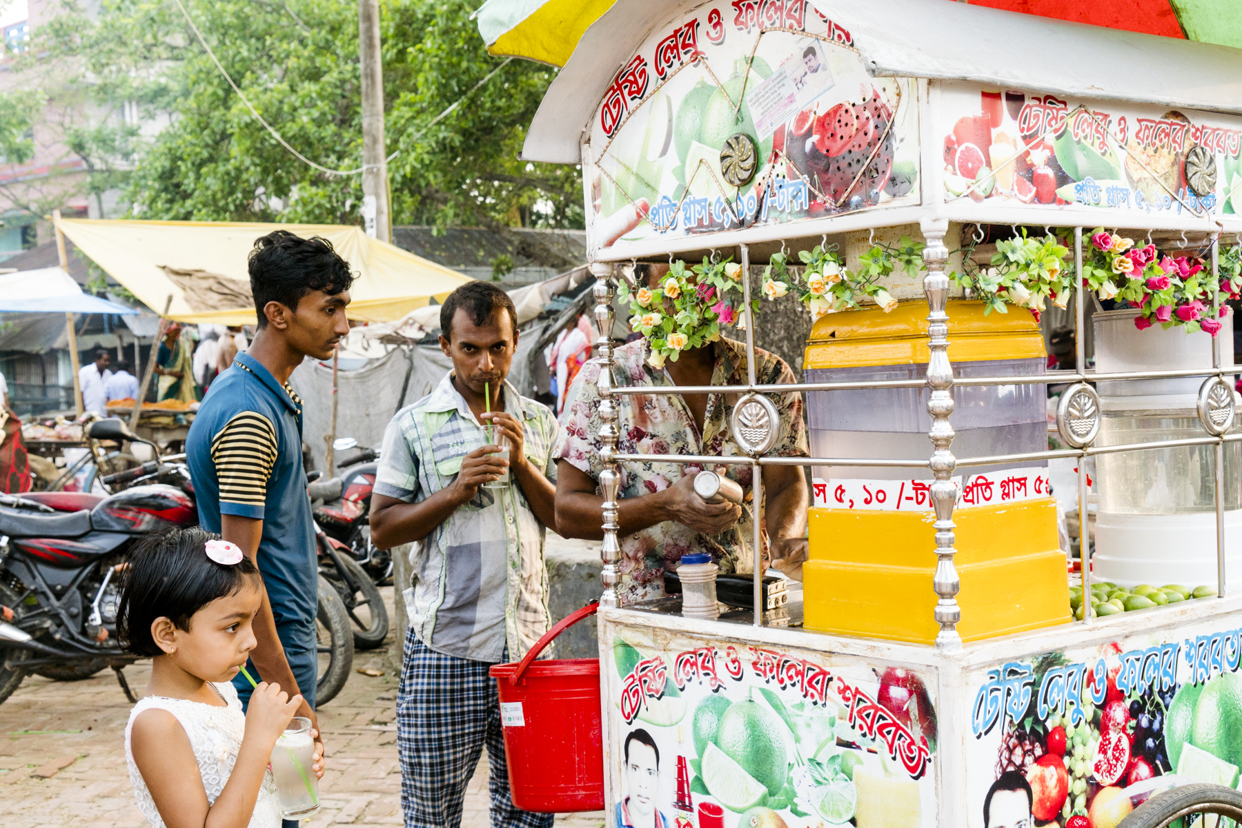


Night market in Khulna

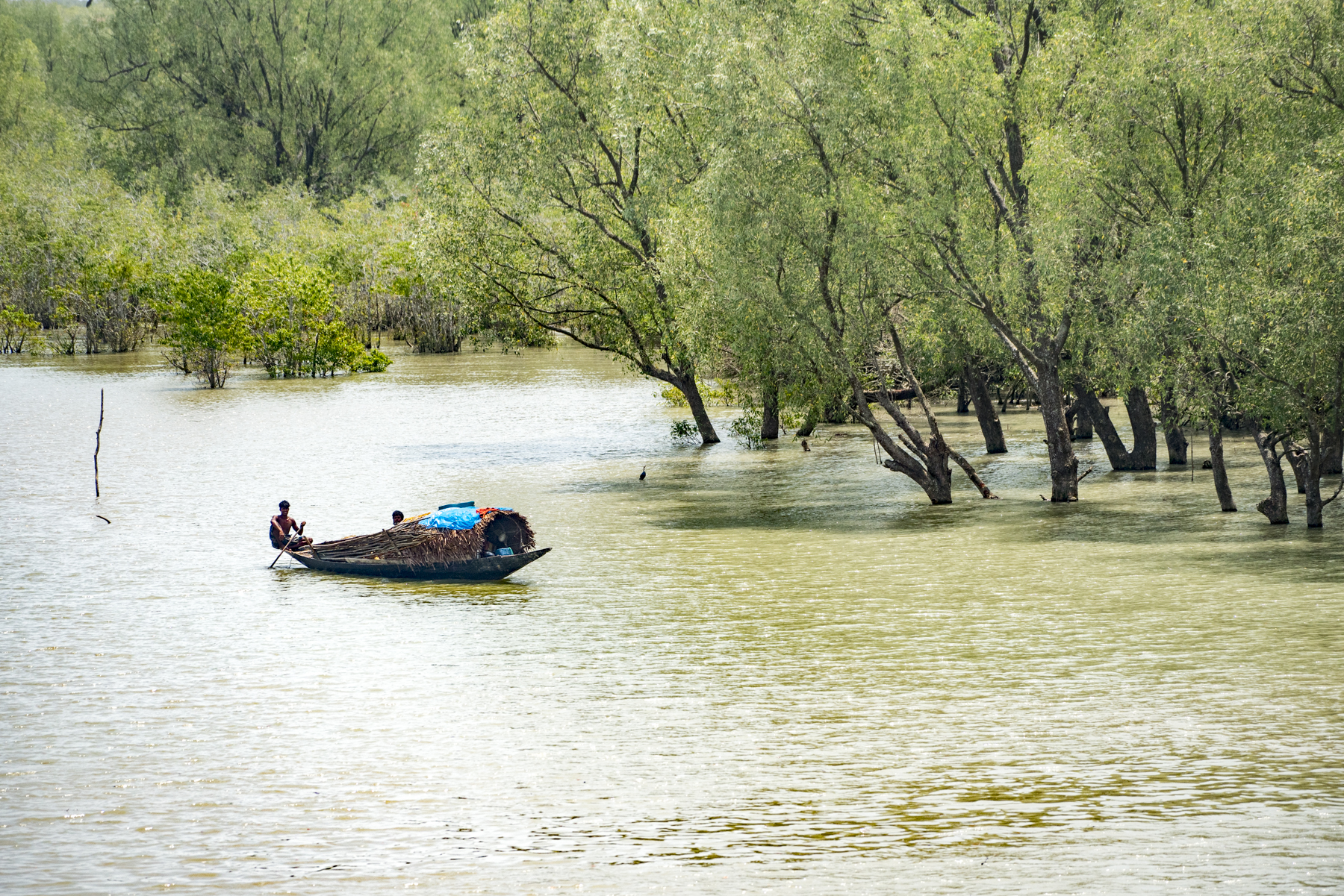
The next morning, we woke early for our 4-hour trip to Kalabogi. Traveling to Kalabogi required an hour drive to the ferry, which would take us across the river. On the way we picked up Ajgor Houssain Sabbir and continued for another two and a half hour boat ride through the Dhaka River and around the bend through the Shibsha River.
We watched the day-to-day activities that the river provided. The largest industry was scouring the river with large blue nets to capture fingerling shrimp. While the parents were working, several children cooled themselves in the murky water. Signs of river erosion scarred the shoreline, trees with exposed roots hung over the embankments and homes were precariously close to the shore.
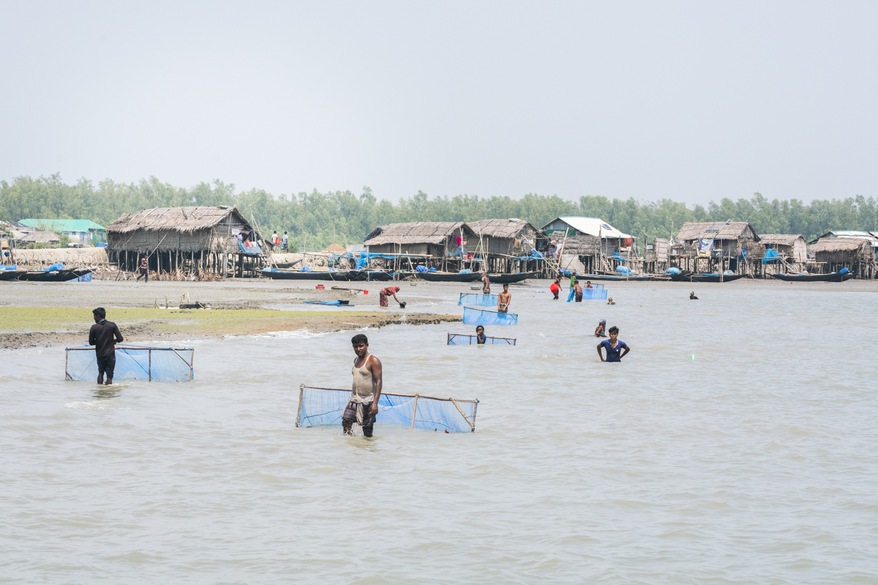
On the river to Kalabogi

Kalabogi Village
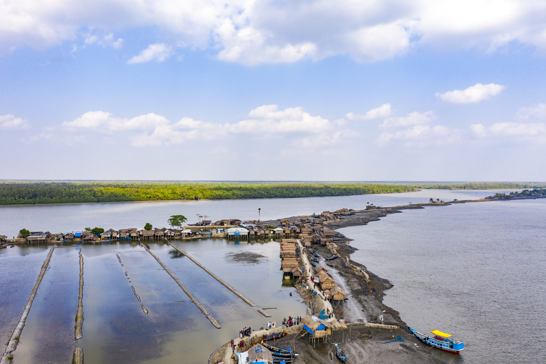
Kalabogi
Kalabogi lies on the northern border of the Sundarbans. The village houses climate refugees living in two rows of government platform dwellings which are mostly powered by solar panels.
Their original homes disappeared into the river and what was once a viable village with crops and fresh fish is now only a memory.
Moriam Begum and Hakim Sheak
Kalabogi Village
Cinematography: Bill Megalos
Moriam (65) and Hakim (50) live with six members of their extended family; Moriam’s mother, approximately 100 years, their three children, their son-in law, Shapia and their granddaughter in a platform dwelling.

Hakim and Moriam At Work, Kalabogi
We watched Moriam Begum troll her net back and forth to capture tiny (1cm) fingerling shrimp. She trolls for hours in hopes that she will catch 100. Her husband, Hakim Sheak waits by the shore with a bucket where he scoops up these tiny shrimp with a white shell, inspecting each one.
As he counts each shrimp, he places them into a separate bucket to be sold to the shrimp farmer. 100 fingerling shrimp will earn 70 taka (approximately 75 cents).
This is the only source of income for the family unless Hakim is fortunate enough to get a job as a day laborer.
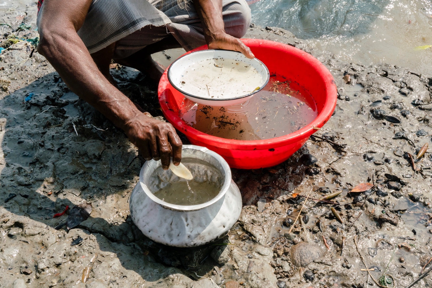
Hakim counts the fingerling shrimp

Because fresh water is not available in Kalabogi, water needs to be purchased daily; one taka will purchase only one liter of water. Days go by where there is only enough food for one meal. Other days Hakim needs to borrow money from a neighbor to feed his family.
The closest medical facility is 30 km away and requires crossing many waterways. If someone is critically ill, it is almost impossible to get treatment.
Moriam and Hakim see no future in Kalabogi.
As we prepare to leave Kalabogi, the villagers surround us in glee, excited that foreigners have come to visit.
Music played in one of the dwellings, inspiring two of the girls to dance.
I was sad to leave these upbeat climate refugees. Would the next cyclone wipe out this village? Where would these people go next?
We waved goodbye and embarked on our boat back to Khulna.

Waving Goodbye, Kalabogi
On the boat, we interviewed Aigor Houssain Sabbir.

Ajgor Houssain Sabbir
Ajgor is now a journalist but was once a Kalabogi refugee.
The first major cyclone of 1988 caused the river embankment in Kalabogi to collapse, flooding the area for the next two years. At that time the government did not have the resources to repair the damage. After the following two cyclones of 2007 and 2009, most of the village became submerged.
When Aigor was promoted to 6th grade, the school was 4 km away and walking during rainy season was difficult. Because his father was a local representative and quite solvent, he sent him to Dhaka to live with relatives to continue his education.
His original school is now in the middle of the river.
He states, “if I tell my children, they wont believe that Kalabogi once had fresh gardens, ponds, and cattle.”
April 5-6: Cox’s Bazaar

Sunset at Cox’s Bazaar
Cox’s Bazaar is a bustling seaside resort with the third longest beach in the world. Tenafly Marine Drive, a 100km road running along the beach, took 12 years to construct.
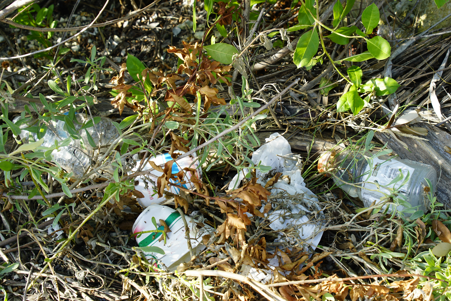
We rushed to make this drive before 7PM when high tide would force the road closed. Capturing this beautiful shoreline with the drone, I realized that there was absolutely no litter on the beach. If ocean debris had washed ashore it was now being recycled.
Kutubdia Island
Cox’s Bazaar District

Kutubdia, Bangladesh

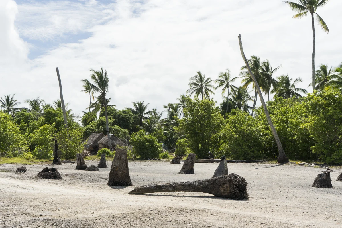
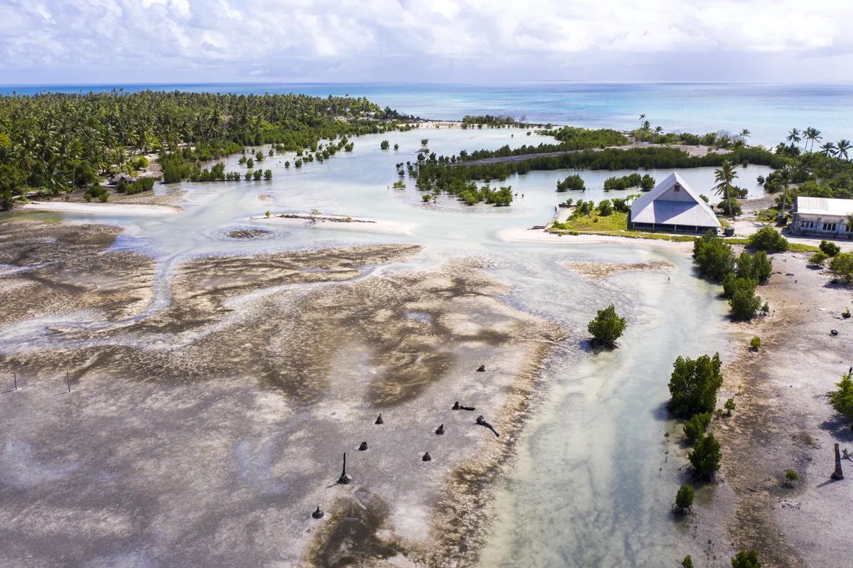
Kutubdia is one of the oldest villages in Bangladesh.
During the past 20 years, 40,000 people have fled Kutubdia. What was once an island of 215 square km has now eroded to half of that, with a total population of 14,000. The only people that remain are those that cannot afford to move and are refugees in their own land.
Kutubdia is noted for increasingly rapid soil erosion and is one of the areas in the world that has the fastest recorded sea level rise.
Land that used to be filled with greenery, trees, vegetables, and rice paddy fields have been destroyed by flooding and replaced by salt fields.
The residents of Kutubdia have been affected by constant cyclones and are one cyclone away from being wiped out. Although there are fewer deaths because of a newly constructed cyclone center, the land is suffering.
Homes that were once brick and wood are now only temporary shacks that can be moved when another flood occurs. The salinization of water has forced these residents to buy their crops and rice from the mainland.
Cinematography: Bill Megalos
The main trade in Kutubdia is salt cultivation, used to dry fish. The salt is extracted from the sea by using evaporation techniques in small ponds.
Now, the long rainy season makes it difficult to dry fish. Fishermen have had to become day laborers to support their families.
Two out of three families have no electricity. Inefficient kerosene lamps are prevalent, which provide light but create smoke - causing eye and respiratory tract diseases. Work and studying are extremely difficult tasks after dark.
A diesel-powered generator provides some electricity between the hours of 5:30-10:30PM. There is a new wind-powered station, which can provide electricity for six hours per day to a small percentage of residents.
By participating in this program they have the option of selling excess electricity.
Drums are used to store rainwater - which can last less than a month before it is depleted.
Shamsunnahar, Kutubdia Island
Cinematography: Bill Megalos
Shamsunnahar lived in Khudiyartek, but left after the cyclone of 1991 to live in Kutubdia.
She explains: “the cyclone had eroded our land, houses and cattle. Even though there is a dam, the water destroys it easily and our homes become flooded. Each year we need to rebuild our homes, which are only made of soil. The cyclone center is saving lives but not everyone can make it to the center during the cyclone.”
During the rainy season Shamsunnahar collects drinking water from the tube well with a long pipe. There is no other place to go, so survival is the only option.
Although it is a hard life, Shamsunnahar prefers hardship rather than dying at sea.
Zafar Alam, Kutubdia Island

Zafar Alam
Zafar is 57 years old. Like Shamsunnahar, he also lived in the village of Khudiyartek. He lived there until 1991 when the devastating cyclone destroyed his home and village.
Twenty to thirty thousand people were displaced and moved to Cox’s Bazaar, Teknaf, Dulahazra, Borkup and Kutubdia.
Zafar once farmed and cultivated salt.
He points to a spot far off into the water where his home, a forest and crops used to exist. He tells us that the rainy season destroys the embankment every year and houses flood.
Year after year homes are rebuilt. Last year a dam was built to protect the residents, but the dam will collapse causing waves to rise over the houses once again.
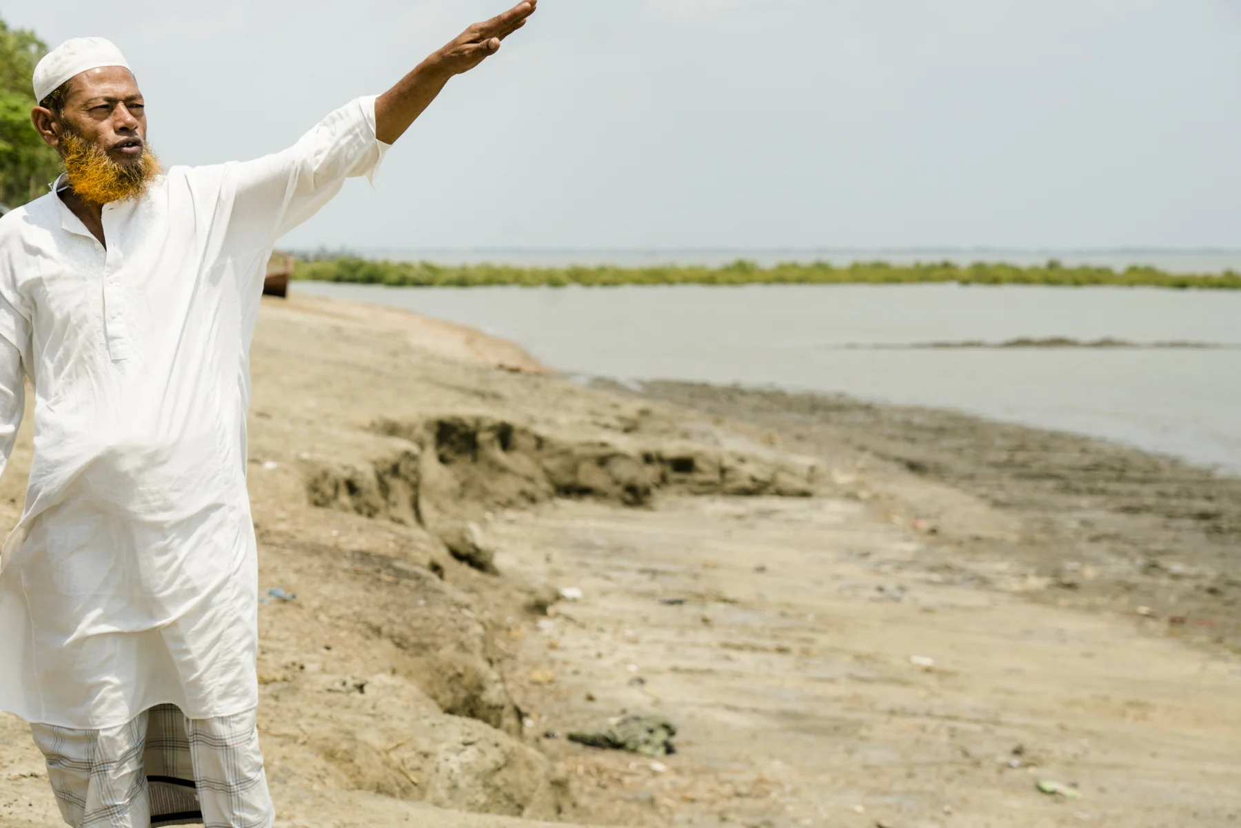
Zafar pointing to where his home used to be.

Fazol Haque
Fazol Haque, COAST
We speak with Fazol Haque who works for COAST - an aid organization that focuses on assisting those whose lives have been hit by climate change. They provide financial help and work with the Bangladeshi government to do more about educating the people in surviving the perils of climate change.
We spend one more night in Cox’s Bazaar before flying back to Dhaka the next morning.
April 7-9: Dhaka
Back in Dhaka, we interview Ainun Nishat.
Cinematography: Bill Megalos
Ainun is an advisor for The Centre for Climate Change and Environmental Research at BRAC University, as well as a world-renowned climate expert.
He has been working with the government combatting and adapting to the impact of climate change on his country. He states: “climate change is still in infancy”.
One major problem facing Bangladesh is the change in weather patterns due to climate change. Bangladesh is very dependent on farming to feed the Bangladeshi and for export, which creates income for the country. Changing weather has had dire effects on the distinct seasons that crops need to survive. Spring and Autumn were important parts of the weather cycle; now, Spring has almost vanished and Autumn is later each year.
Weather patterns are occurring four weeks earlier than they have in past years. The monsoon is arriving earlier and affecting the growth pattern and types of crops that can be grown in Bangladesh. It can rain 100mm in two hours and 300mm per day.
The heavy rainfall has caused landslides in Chittagong where many have died.
The monsoon season once experienced 400-500mm of rainfall. This has been reduced to 300mm. While late monsoon season used to record 50mm of water, it now recorded as 300 to 400mm. Heavy rain can ensue for seven days in a row and cease for the following two weeks.
The rise in global temperature, the increase in rainfall, and the rising tide are working together to create an excess of salinated water in coastal areas, creating negative effects on agriculture. What was once an area that grew rice is now a salt cultivation field.
Ainun explains, “Bangladesh is nature’s laboratory of natural disasters.”
Flooding is becoming more frequent. Bangladesh experiences four different types of flooding; flash flooding from rainfall, rising sea level, internal flooding where pumps are needed to extract excess water from the ground, and river flooding.
There are also areas in Bangladesh that face drought. Western and Central Bangladesh have been forced to switch crops from rice to mangoes, which require less water.
Cyclones are a regular occurrence in Bangladesh. Five thousand cyclone centers have been built throughout the country, but 10,000 more are needed.
An extensive dike system has been developed to combat the increase in water throughout Bangladesh. The dikes are five meters high, but in 2009 and 2017 the water rose to eight meters thus flooding huge areas. Bangladesh is now increasing the height of these dikes to 6.5 meters.
The country is working to curb carbon emissions by banning cars that are more than five years old and investing in renewable energy.
The changing of weather has caused lightning to become more frequent in the north. Many have died.
An increase in fog is yet another issue that the country of Bangladesh is facing. Airports close between the hours of 4 and 10PM in the month of December and ferries can be closed for several days when visibility becomes too low to travel.
The rise in temperature results in the rise of many diseases. Dengue fever in Bangladesh did not exist before 2003 and the Nipah virus only appeared in 2016.
Ainun summarizes, “Bangladesh is the most vulnerable country due to climate change.”
SUNDARBANS
Fascinated by the Sundarbans, I rented a helicopter to experience the largest fresh water mangrove forest in the world.

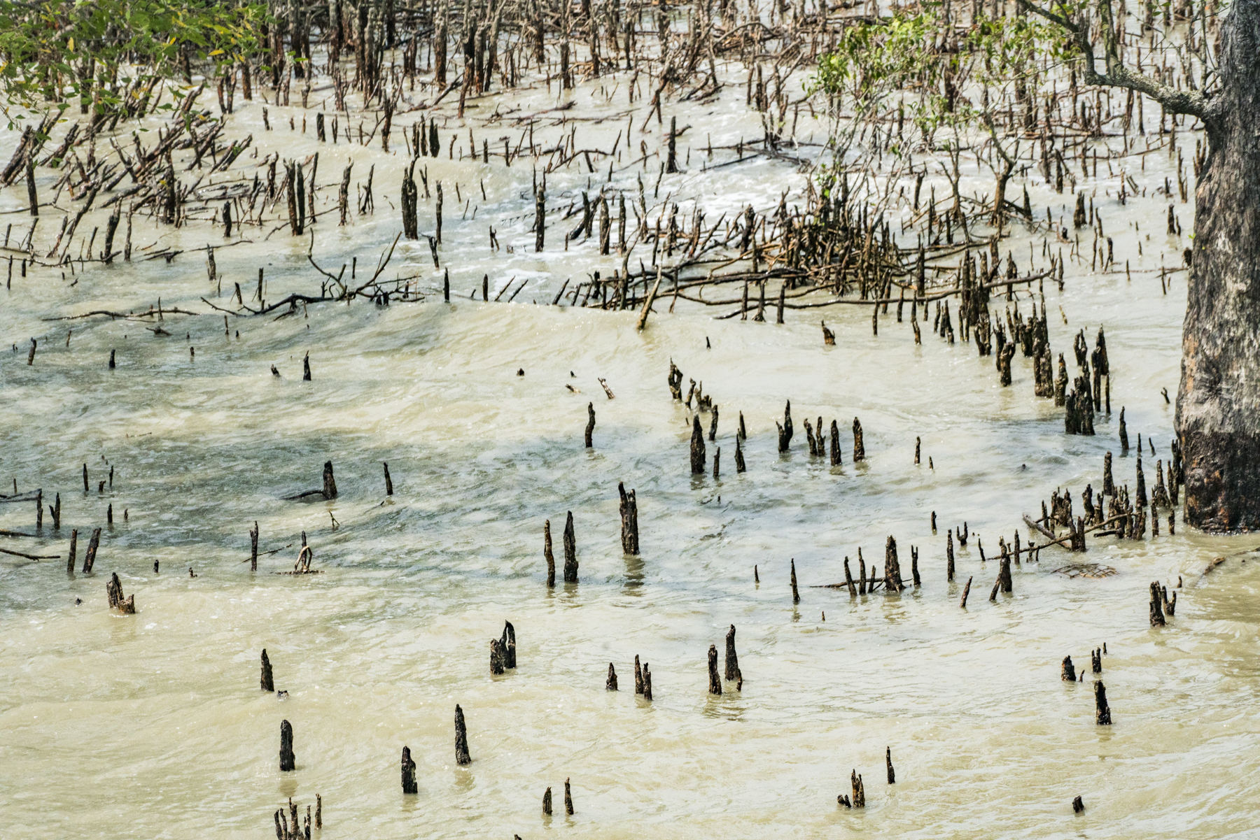
Sundurbans, Bangladesh
The Sundarbans house the world’s most complex river delta, about the size of Connecticut. The three main rivers, the Ganges, the Brahmaputra, and the Meghna end up in the mangrove forest of the Sundarbans.
Fed by Himalayan snowmelt and monsoon runoff, carrying one billion tons of Asian landmass suspended as sediment, it is recorded among the richest terrestrial and aquatic ecosystems that exist.
As sea level rises, fresh water flows from the rivers and mixes with the salty tides from the sea drifting inland. The increase in salinity is killing many of the mangroves and saline-adapted species are replacing these trees.
The Bengal tiger and other local animals depend on fresh water and cannot live with the increase in salinity. These tigers are near extinction with only 100 left. Due to increased salinity, there has been an increase of shark and whale sightings in the Sundarbans.
Rising sea levels of 0.5 meters by 2050 will cause 2251 square kilometers of land or 42% of the Sundarbans to sink. 2.5 million people in major coastal districts will be inundated.
A World Bank study found that higher surface temperature of the Indian Ocean increases the frequency and strength of the cyclones. Cyclone Roanu destroyed 125,000 homes through Sri Lanka, India and Bangladesh in May 2016.
DHAKA SLUM


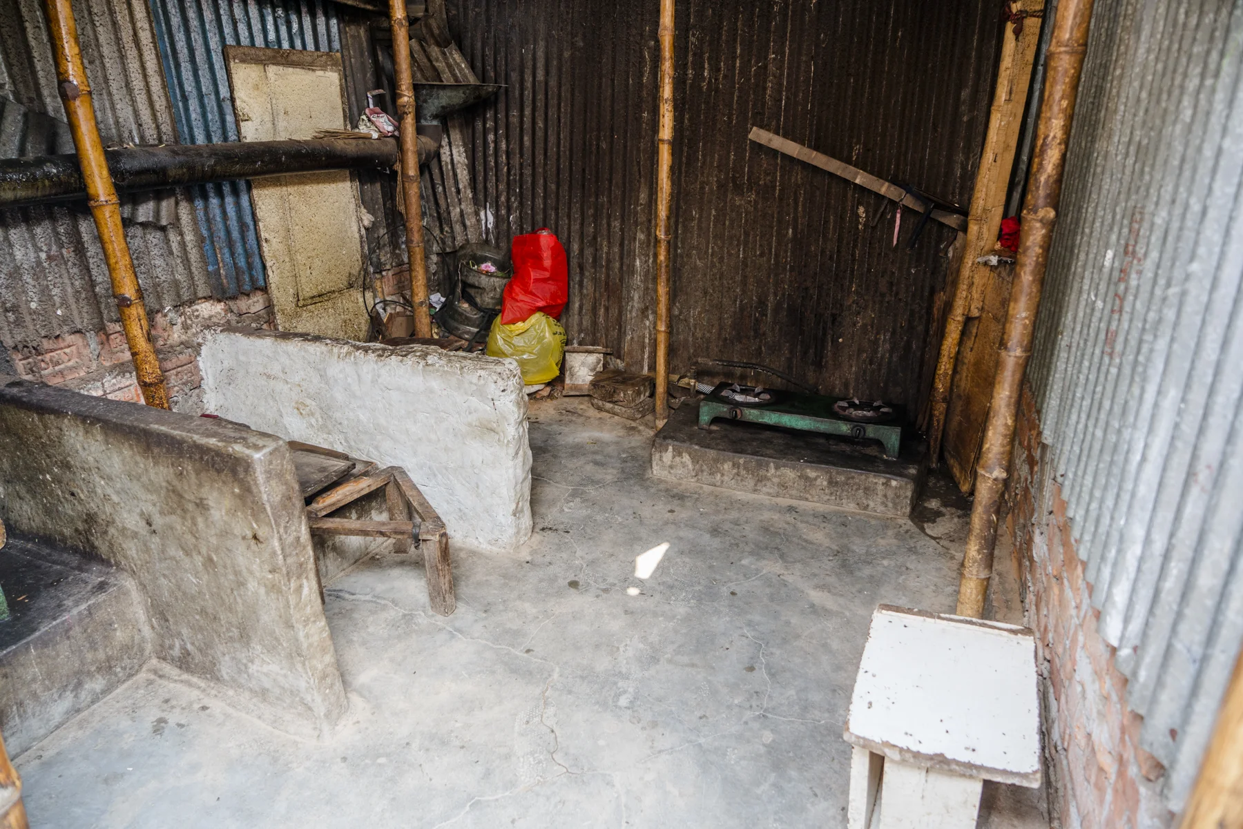


Dhaka Slum, Bangladesh

We decide to visit the local slum area of Dhaka to witness conditions of the poorest in the city.
The Dhaka slum is a vibrant community of small shacks, communal kitchen and dining, and a town that supports their needs. Barbershops, cellular stores, vegetables stands, bike shops, etc. are all available within this slum. Most work in the garment factories where conditions are difficult.
Before visiting Bangladesh, I thought that these were the poorest and most disenfranchised people - instead, I realized that the residents of this slum were much richer than many others in Bangladesh. They had jobs that paid a wage, which is the hope of many climate refugees.
Bangladesh is responsible for only 0.3% of the world’s greenhouse gasses, but is greatly suffering the effects of increase in CO2 emissions caused by other countries. With the help of more developed countries under the Paris agreement, they are hoping for funding, bringing them from one of the poorest countries in the world to middle income by 2071 - the nation’s 100th birthday.
In October of 2018, The Intergovernmental Panel on Climate Change (IPCC) provided a special report on the impacts of global warming above pre-industrial levels. The goal of the Paris Climate agreement was to limit global temperature rise to 1.5 degrees C. To do this we would severely need to limit CO2 emissions over the next 12 years, halving current levels until 2030.
By continuing to emit CO2 without drastic reduction, the global temperature will increase 2 degrees by 2050 causing irreversible damage to the most vulnerable countries on Earth, including Bangladesh. **
For Bangladesh to survive, it is mandatory that the increase in global warming does not exceed 1.5 degrees C by 2050. If it increases further, there will be even more tragedy - displacement, starvation and death.
The stories above are only a few that exist in Bangladesh. There are many more. The world needs to take responsibility and decrease carbon emissions now before it is too late.
Khulna District, Bangladesh, April 3, 2019

Kalabogi, Khulna District, Bangladesh, April 3, 2019

Kalabogi, Khulna District, Bangladesh, April 3, 2019

Kolatoli Beach, Cox’s Bazaar, Bangladesh, April 4, 2019

Kolatoli Beach, Cox’s Bazaar, Bangladesh, April 4, 2019

Kutubdia Island, Bangladesh, April 5, 2019